Kananaskis Country Maps
The best Kananaskis Country maps are produced by GEM TREK MAPS. Gem Trek is a local Canadian Rockies company that has been publishing high-quality, waterproof and tear-resistant Canadian Rockies maps for over 30 years. Gem Trek divides Kananaskis Country into four popular recreation areas. This includes: Canmore & Kananaskis Village Map (1:50,000) and Kananaskis Lakes Map (1:50,000), Bragg Creek & Sheep Valley Map (1:50,000), and Highwood & Cataract Creek Map (1:50,000). These maps are created using computer-generated 3-D imagery to clearly define changes in elevation and GPS to plot hiking trails. The backs of the maps are filled with trail information as well as tidbits of history.
These Kananaskis Country maps are available directly from Gem Trek:
Canmore and Kananaskis Village Map
Kananaskis Lakes Map
Bragg Creek and Sheep Valley Map
Highwood and Cataract Creek Map
Gem Trek maps are also sold throughout Kananaskis Country, including visitor centres, as well as outdoor retailers in the Canadian Rockies and Calgary.
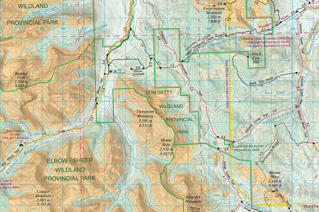
Detail from Gem Trek’s Bragg Creek and Sheep Valley Map.