Waterton Lakes National Park Maps
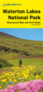
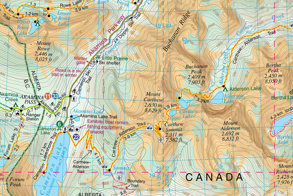
The best Waterton Lakes National Park map is produced by GEM TREK MAPS. Gem Trek is a local Canadian Rockies company that has been publishing high-quality, waterproof and tear-resistant Canadian Rockies maps for over 30 years.
The scale of Gem Trek’s Waterton Lakes National Park Map is 1:50,000 and it’s fully waterproof. Like all maps in the Gem Trek series, it is created using computer-generated 3-D imagery to clearly define changes in elevation and GPS to plot hiking trails. The back of the map is filled with trail information as well as tidbits of history.
Gem Trek’s Waterton Lakes National Park Map is available directly from Gem Trek:
Waterton Lakes National Park Map
Gem Trek maps are also sold throughout the townsite, including the Waterton Lakes Visitor Centre and Tamarack Outdoor Outfitters.