Icefields Parkway History
Icefields Parkway history began the construction of a highway linking Banff and Jasper National Parks in 1931, but the region was an important thoroughfare for hundreds of years before this.
Howse Pass
Howse Pass, west of Saskatchewan River Crossing along the Icefields Parkway, was probably used by the Kootenay people for generations, but the first recorded passage was by David Thompson in 1807. Beginning at Rocky Mountain House, Thompson followed the North Saskatchewan River then Howse River to Howse Pass before crossing into what is now British Columbia. Thompson named it for fur trader Joseph Howse. Howse Pass was the first fur trade route across the Continental Divide to the Columbia River, although within a few years of Thompson’s crossing Athabasca Pass, to the north, it was abandoned. At 1,539 metres, Howse Pass is lower than many other passes across the Continental Divide and was considered for the CPR line before Kicking Horse Pass to the south was chosen as the preferred route.
Although there is little to see of historical importance at Howse Pass, it has been declared a National Historic Site by the federal government. A plaque at the pass celebrates this designation. Howse Pass is a long, difficult trek from Mistaya Canyon on the Icefields Parkway, one that should only be attempted by experienced wilderness travellers prepared for a multi-night trip into the backcountry. A much easier option is to stop along the Icefields Parkway at Howse Pass Viewpoint, opposite the David Thompson Highway junction, where interpretive boards describe the importance of the pass.
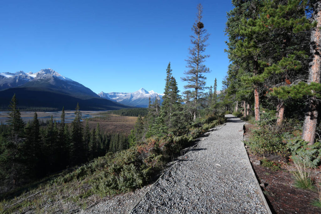
Howse Pass Viewpoint.
Icefields Parkway Construction
Known as the Icefields Parkway since 1974, construction of the Banff–Jasper Highway (or the Jasper–Banff Highway, as it was called by southbound travellers) was a major engineering feat. Work began in September 1931 but construction outlasted the Great Depression and carried into World War II. The project had begun with mostly manpower and horsepower, but as construction progressed and the terrain became more difficult, modern machinery was used more and more often. In 1940, one year after the war had been declared, the highway was completed; plans for a grand opening celebration were cancelled due to the war, however, and the highway opened with little fanfare. Not until the late 1960s was the Icefields Parkway open through the winter, and to this day it closes when winter storms and avalanche dangers make driving the route hazardous.
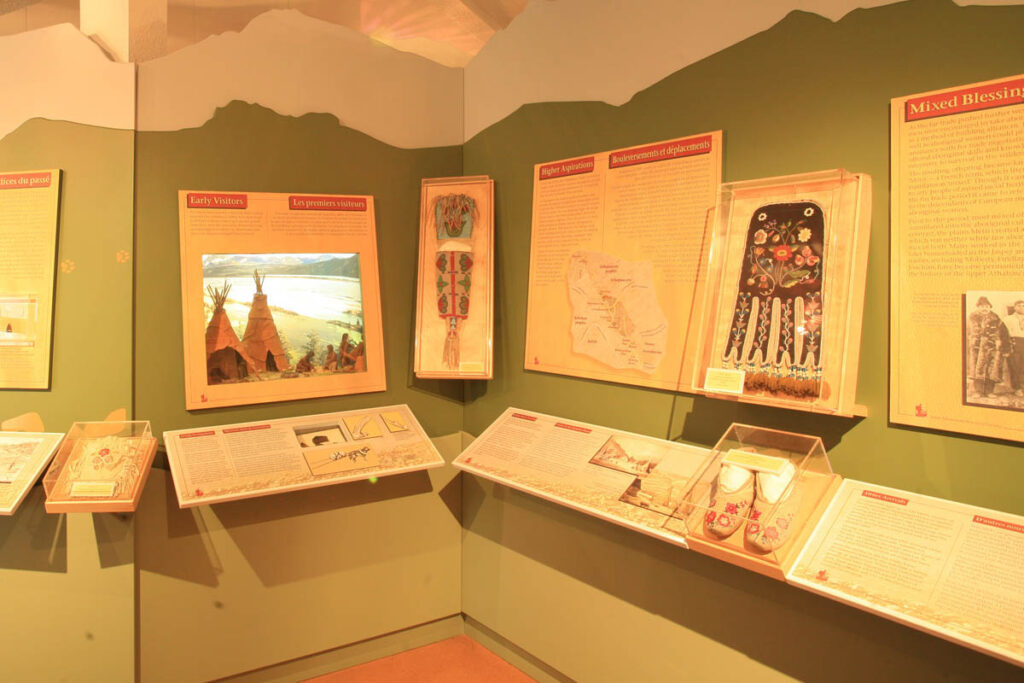
The Jasper-Yellowhead Museum is a good place to learn about Icefields Parkway history.
Improvements, since the Banff-Jasper Highway was first completed, have left many sections of the original roadbed intact and accessible from the new routing. None are signposted, but there are a few places for interested road travellers to visit. These include an abandoned concrete bridge across the North Saskatchewan River (a short trail leads downhill from an unmarked pullout just north of the Coleman Day Use Area) and an impressive waterfall that was a popular stopping point now bypassed by the modern road (around 800 metres/0.5 miles) along an old section of road leading west from the lower end of the Big Bend).