Getting to Mount Assiniboine Provincial Park
The easiest way to reach Mount Assiniboine Provincial Park is flying in by helicopter, but it is also possible to hike to Mount Assiniboine Provincial Park along two popular trails and two rarely used options.
Getting to Mount Assiniboine by Helicopter
Getting to Mount Assiniboine by helicopter is the easiest option. The main departure point is the MOUNT SHARK HELIPAD, at the southern end of Spray Valley Provincial Park, 40 km (25 mi) southwest of Canmore. It is also possible to fly from Canmore. All flights are operated by ALPINE HELICOPTERS (403/678-4802). Although Alpine operates the flights, bookings are made through Assiniboine Lodge. If you’re planning on hiking into Mount Assiniboine Provincial Park, Alpine Helicopters will fly your gear in for $5 per pound.
The summer flying season is from late June to early October. Flights to and from Mount Assiniboine are restricted to Wednesday, Friday, and Sunday (on long weekends they fly Monday instead of Sunday).
In 2023, Mount Assiniboine flights are $205 per person each way. See the Assiniboine Lodge website for booking details, as flights fill fast.
A popular option is to fly into Mount Assiniboine and then hike out along one of the two trails detailed below. To lighten your load, Alpine Helicopter will fly excess gear out for $5 per pound.

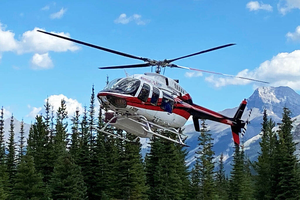
Lift-off from the Mount Shark Helipad.
Mount Assiniboine Flightseeing
In summer, ALPINE HELICOPTERS (403/678-4802) operates flightseeing options that take in Mount Assiniboine Provincial Park, including a 35-minute flight that takes you close to the mountain itself.
Getting to Mount Assiniboine on Foot
The shortest and most popular hiking route is the 25.3-km (15.7-mile) Bryant Creek–Assiniboine Pass trail from the Mt. Shark staging area (same vicinity as helicopter departure point) in Spray Valley Provincial Park. If you take the gondola to Sunshine Village, the Assiniboine via Citadel Pass trail is not much farther (27.5 km/17.1 miles) but is more scenic.
The trail descriptions below are from the Canadian Rockies Trail Guide by Brian Patton and Bart Robinson, which describes the access routes in more detail. We also recommend using Gem Trek’s Banff and Mount Assiniboine Map.
Bryant Creek–Assiniboine Pass Trail
Length: 25.3 kilometres/15.7 miles (8-9 hours) one-way
Elevation gain: 460 metres/1,510 feet)
Rating: difficult
Trailhead: Mount Shark staging area
Starting from the Mount Shark parking area in Spray Valley Provincial Park, a broad, well-graded trail runs due west and descends to a bridge across the Spray River. Follow the Spray River trail right to Trail Centre junction.

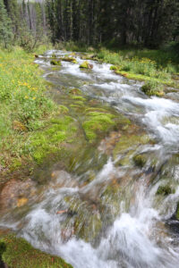
Big Springs, along Bryant Creek.
The ascent of the Bryant Creek valley begins at Trail Centre on a broad track—a straightforward if uninspiring trek (although the greenery beside Big Springs is a good lunch spot). Owl Lake junction is passed after 12 km (7.5 miles), and one km (0.6 miles) farther along, the trail to Marvel Lake Campground and the east end of Marvel Lake.
After 13.6 km (8.5 miles) you reach the Bryant Creek Shelter. Lying just off the trail to the left, the shelter is popular with tent-less hikers. Because of this popularity, you should make reservations (www.reservation.pc.gc.ca) if you plan on staying there.
Another kilometre brings you to the junction to McBride’s Camp Campground and, just beyond, the Wonder Pass trail junction and Bryant Creek Patrol Cabin. McBride’s is a good centrally-located campground for backpackers who don’t want to stay at the shelter.
The Bryant Creek trail continues up-valley beyond the patrol cabin and immediately enters an extensive meadow covered with shrub willow and dwarf birch.
At km 17.3 (mile 10.7) you reach the valley’s last campground, Allenby Junction. This is another good base camp, particularly for day trips into Mount Assiniboine Provincial Park. If you shoulder your backpack past this point, you are likely bound for Mount Assiniboine via Assiniboine Pass.
The Upper Assiniboine Pass trail branches right from the main trail just beyond the campground. While this trail eliminates an immediate ankle-deep crossing of Bryant Creek, it is closed from August to September as it passes through the prime grizzly habitat. It also adds approximately 1.6 km (1 mile) to the distance to Assiniboine Pass. After 4 km (2.5 miles) the Upper Assiniboine Pass trail rejoins the Lower trail and continues up-valley to the last series of switchbacks leading to Assiniboine Pass.
While the subalpine meadows of the pass would be a pleasant destination on many other trails, hikers who take the trouble of climbing to its summit are inevitably bound for Lake Magog at the foot of Mount Assiniboine, just 2.5 km (1.6 miles) beyond.
Assiniboine via Citadel Pass from Sunshine Village
Length: 27.5 kilometres/17.1 miles (9-10 hours) one-way
Elevation gain: 400 metres/1,310 feet)
Rating: difficult
Trailhead: Sunshine Village
The trail from Sunshine Village via Citadel Pass is undoubtedly the most scenic and varied approach to Mount Assiniboine. While the more popular Bryant Creek–Assiniboine Pass trail is shorter, the Citadel Pass approach is only 2 km longer and there is a slight net loss of elevation over the course of the journey. The only disadvantage is the lack of water, so make sure you carry an adequate supply.
To enjoy the advantages of the Citadel Pass approach, ride the gondola to Sunshine Village. The first 9.3 km from Sunshine Village follows the very scenic Quartz Hill–Citadel Pass Trail. After this wonderful, rolling meadow walk, with occasional views of Mount Assiniboine in the distance, you cross into Mount Assiniboine Provincial Park at Citadel Pass and descend steeply into the Golden Valley.
The Valley of the Rocks is a long, dry, forest-enclosed vale that features a wild array of giant boulders—the remains of a gigantic rockslide. Og Lake marks the end of the valley. From this point on, the trail enters a series of open meadows with continuous views ahead to Mount Assiniboine over the final 5 km (3.1 miles) to Assiniboine Lodge.

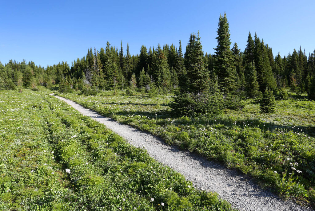
The approach to Citadel Pass.
