Kootenay National Park Hiking
 Some 200 kilometres (124 miles) of hiking trails lace Kootenay National Park. Hiking opportunities range from short interpretive walks to challenging treks through remote backcountry. All trails start from Highway 93 on the valley floor, so you’ll be facing a strenuous climb to reach Kootenay National Park’s high alpine areas, especially those in the south. For this reason, many hikes require an overnight stay in the backcountry. The following hikes are listed from east to west (from Banff toward Radium Hot Springs).
The best source of Kootenay National Park hiking information is the Canadian Rockies Trail Guide by Brian Patton and Bart Robinson, which details all trails and has accompanying colour photos and maps. Also recommended is Gem Trek’s waterproof Kootenay National Park Map.
Stanley Glacier Trail
Length: 4.2 kilometres/2.6 miles (90 minutes) one-way
Elevation gain: 350 metres/1,150 feet
Rating: moderate
Trailhead: Highway 93, 7 kilometres (4.4 miles) west of the Continental Divide
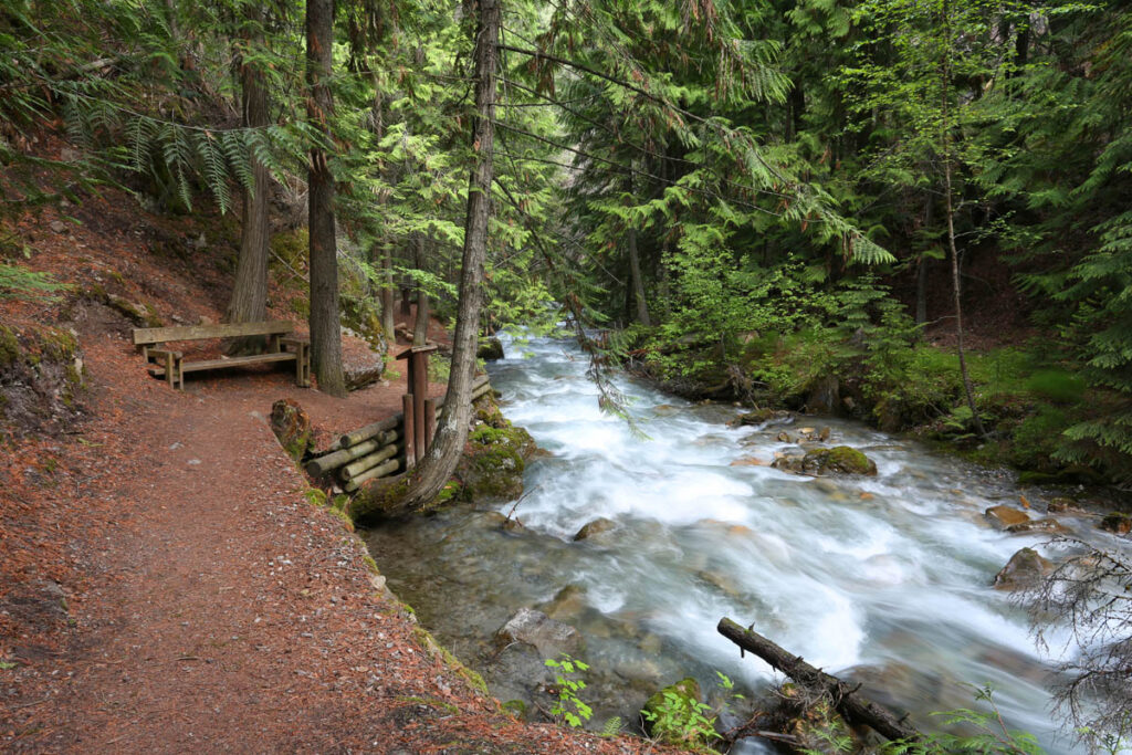
Although this glacier is no more spectacular than those alongside the Icefields Parkway just a few minutes’ drive away, the sense of achievement of travelling on foot makes this trail well worth the effort. From Highway 93, the trail crosses the upper reaches of the Vermilion River, then begins a steady climb through an area burned by devastating fires in 1968. After two kilometres (1.3 miles), the trail levels off and begins winding through a massive U-shaped glacial valley, crossing Stanley Creek at the 2.4-kilometre (1.5-mile) mark. In open areas, fireweed, harebells, and yellow columbine carpet the ground. To the west, the sheer face of Mount Stanley rises 500 metres (1,640 feet) above the forest.
The trail officially ends atop the crest of a moraine after 4.2 kilometres (2.6 miles), with distant views to Stanley Glacier. It’s possible (and worthwhile) to continue 1.3 kilometres (0.8 mile) to the tree-topped plateau visible higher up the valley. After reaching the top of the first moraine beyond the official trail end, take the left fork, which switchbacks up and over another crest before making a steady ascent through slopes of loose scree to the plateau. Surprisingly, once on the plateau, you’ll find a gurgling stream, a healthy population of marmots, and incredible views west to Stanley Glacier and north back down the valley. Be especially careful on the return trip—it’s extremely easy to lose your footing on the loose rock.
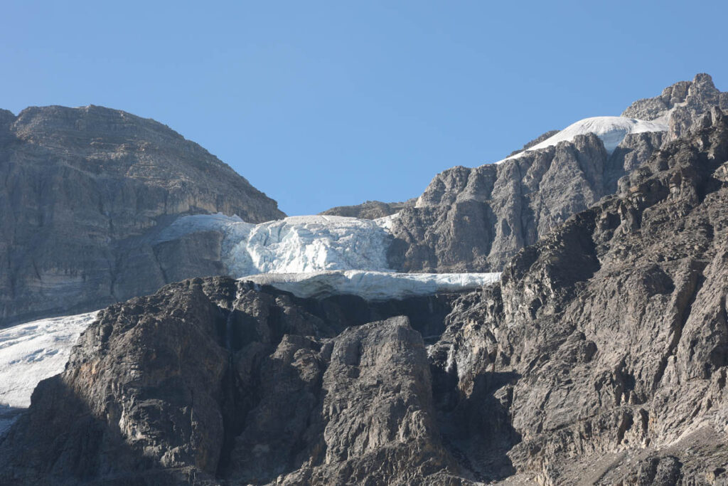
Stanley Glacier
Rockwall Trail
Length: 54 kilometres/33.6 miles (3 days) round-trip
Elevation gain: 760 metres/2,490 feet
Rating: moderate/difficult
Trailhead: various points along Highway 93
This is one of the classic hikes in all of the Canadian Rockies. The Rockwall is a 30-kilometre-long (18.6-mile) east-facing escarpment that rises more than 1,000 metres (3,280 feet) from an alpine environment. Four different routes provide access to the spectacular feature; each begins along Highway 93 and traverses a steep valley to the Rockwall’s base.
The most popular trail starts at the Paint Pots and follows Helmet Creek 12 kilometres (7.5 miles) to spectacular 365-metre (1,200-foot) Helmet Falls. A further 2.4 kilometres (1.5 miles) takes you to the beginning of the Rockwall trail and a campground, the first of five along the route. The trail then follows the Rockwall in a southeasterly direction for 30 kilometres (18.6 miles), passing magnificent glaciers, waterfalls, and lakes before ending at Floe Lake, 10.4 kilometres (6.5 miles) from the highway.
The Tumbling Creek and Numa Creek drainages provide alternative access routes to the Rockwall and require similar elevation gains. The elevation gain noted here is for the initial climb from the highway; along the route ascents are made to four additional passes, with elevation gains ranging 280 to 830 metres (920 to 2,720 feet).
Hikers will need to make arrangements for shuttle transportation between the beginning and end of this route—about 13 kilometres (eight miles) apart—or allow extra time to hike back. As elsewhere in Kootenay National Park, all hikers spending the night in the backcountry must reserve campsites in advance through the Parks Canada Campground Reservation Service (877/737-3783), and it’s strongly recommended that you do reserve as soon as the system opens in January
Floe Lake Trail
Length: 10.4 kilometres/6.5 miles (3.5 hours) one-way
Elevation gain: 730 metres/2,395 feet
Rating: moderate/difficult
Trailhead: Highway 93, 8 kilometres (5 miles) north of Vermilion Crossing
Of all the lakes in Kootenay National Park, this would have to be the most beautiful. Unfortunately, reaching it requires a strenuous day trip or an overnight expedition. From Highway 93, the trail crosses the Vermilion River then begins its long ascent of the Floe Creek watershed, passing through a forest of lodgepole pine and making many long switchbacks before leveling off 400 metres (1,310 feet) before the lake. Nestled in a glacial cirque, the gemlike lake’s aquamarine waters reflect the Rockwall, a sheer limestone wall rising 1,000 metres (3,280 feet) above the far shore. In fall, stands of stunted larch around the lakeshore turn brilliant colours, adding to the incredible beauty.
Dog Lake Trail
Length: 2.6 kilometres/1.6 miles (40 minutes) one-way
Elevation gain: 80 metres (260 feet)
Rating: easy
Trailhead: McLeod Meadows Picnic Area, Highway 93
Dog Lake is no Mona Lisa, but it is a popular and easily reached destination, especially for those staying in McLeod Meadows Campground (if you’re not camping, park at the picnic area 500 metres/0.3 mile to the south). The trail first crosses the wide Kootenay River by footbridge. Then it hops a low ridge over to the shallow lake, which is fringed by marshes at the north end.
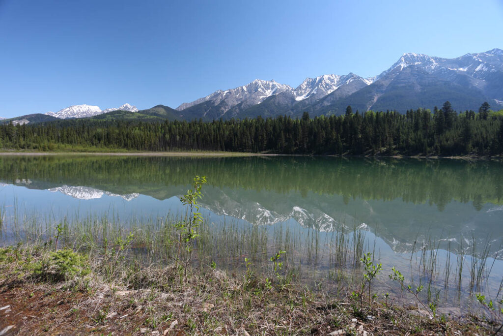
Dog Lake
Kindersley Summit Trail
Length: 10 kilometres/6.2 miles (4 hours) one-way
Elevation gain: 1,050 metres/3,445 feet
Rating: difficult
Trailhead: Highway 93, 2 kilometres (1.2 miles) west of Sinclair Pass
The elevation gain on this strenuous day hike will be a deterrent for many, but views from the summit will make up for the pain endured along the way. From Highway 93, the trail climbs through a valley for about three kilometres (1.9 miles), then switchbacks up across several avalanche paths and through more forest before emerging at an alpine meadow on Kindersley Pass. The final two-kilometre (1.2-mile) slog gets you higher, to an elevation of 2,400 metres (7,870 feet) at Kindersley Summit, a saddle between two slightly higher peaks. This is where the scenery makes the journey worthwhile. You’ll enjoy views west to the Purcell Mountains, east to the Continental Divide, and, most spectacularly, north over the Kootenay River Valley. An alternate return route to the valley floor follows Sinclair Creek down from Kindersley Summit. This cuts two kilometres (1.2 miles) off the return distance.
Kimpton Creek
Juniper Trail
Length: 3.2 kilometres/2 miles (1 hour) round-trip
Elevation gain: 90 metres/295 feet
Rating: easy
Trailhead: Highway 93, uphill from the west park gate
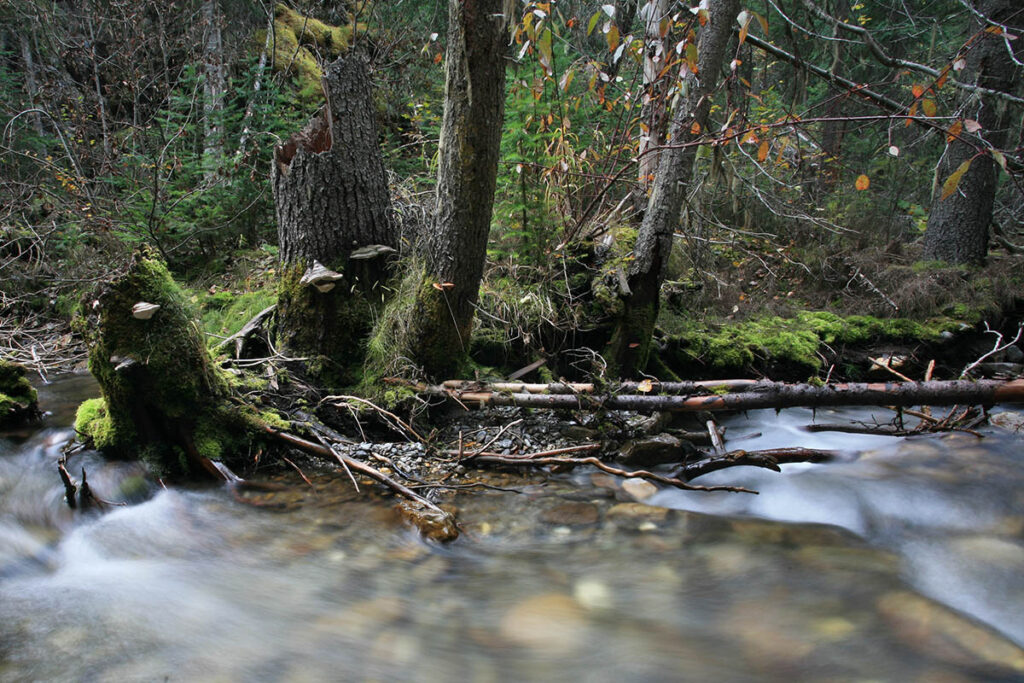
Named for the abundance of juniper along one section, this trail traverses a variety of terrain in a relatively short distance. You’ll pass Sinclair Creek, an avalanche slope, and a lookout offering views of Windermere Valley and the Purcell Mountains. Beginning on the north side of the road just inside Kootenay National Park boundary, this trail rejoins the highway 1.5 kilometres (0.9 mile) farther into the park. There you can retrace your steps back to the start or return along the highway via Sinclair Canyon.
Sinclair Creek along the Juniper Creek